01 — Utility GIS

Utility and infrastructure GIS.

I map utility lines, inventory assets, and connect records to the map for small municipal utilities and rural electric systems. The people who run the system have to be able to use the result and keep it current.

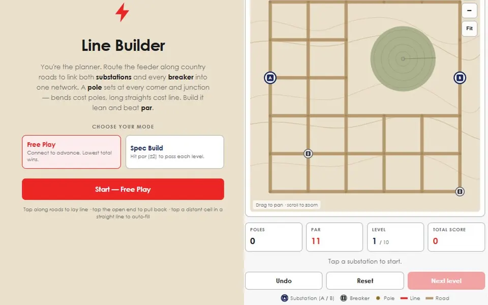
Concept diagram: a feeder connecting a substation to three junctions along section-line roads SubstationBreaker1 mi grid
Concept diagram · not mapped infrastructure Connection highlighted.

Problems this addresses

  • The records are in CAD drawings, on paper, and in people’s heads.
  • A small utility has no GIS department, so the people who run the system have to be able to maintain the map.
  • Compliance work, such as a lead and copper service-line inventory, requires every line to be accounted for.
  • Field crews need the map on a phone.

Process

From field information to usable operational data.

  1. Collect

    I gather field notes, as-builts, and legacy CAD into one inventory.

  2. Structure

    I migrate the CAD and records into structured geodatabases with consistent attributes.

  3. Publish

    The layers go to the people who need them on a desktop, a web map, or a field app.

  4. Use

    Dashboards and analysis go on top, such as demand growth, vegetation risk, and top consumers.

Where this comes from. This comes from my work history. I maintain enterprise electric GIS at The Victory Electric Cooperative Association. At the City of Liberal I established the first comprehensive utility GIS platform, migrated CAD blueprints into geodatabases, built the water, wastewater, and stormwater layers, and implemented a lead and copper compliance inventory for more than 7,000 service lines.

Projects

Utility GIS on this site.

Tools & methods

  • ArcGIS Pro
  • ArcGIS Enterprise / SDE
  • ArcGIS Field Maps
  • AutoCAD → GIS migration
  • Power BI
  • MapLibre web maps
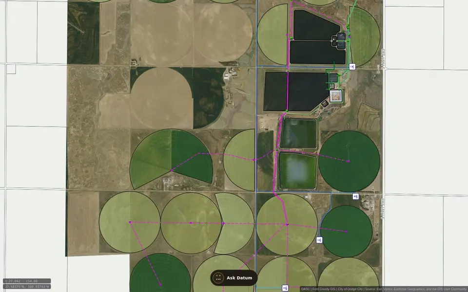
Datum utility map: irrigated fields and treatment ponds south of Dodge City with water and sewer lines drawn over aerial imageryMap

Public map · Dodge City & Ford County, Kansas

Datum — Utilities

A public, read-only reference map for Dodge City and Ford County. It organizes selected published water, sewer, well, hydrant, and related GIS layers for browsing and planning. Datum, the site assistant, can help visitors navigate the available map content.

Open
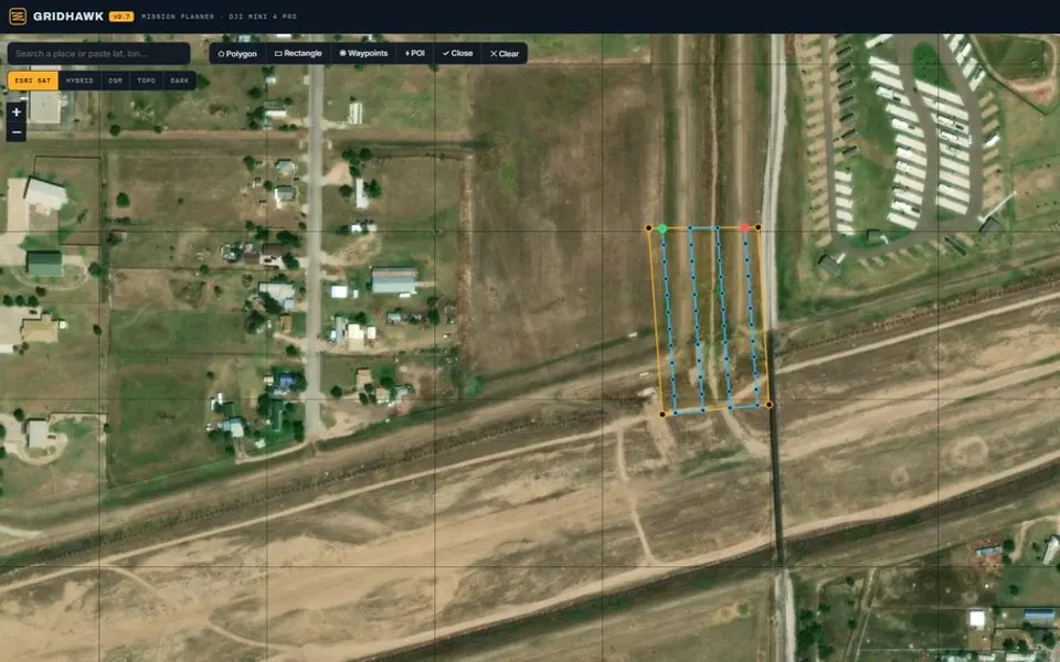
GridHawk mission planner: a survey grid drawn over aerial imagery with a flight-settings panelApp

Browser tool · drone mission planning

GridHawk

A browser-based mission planner for DJI Mini 4 Pro mapping flights. Define a survey area over imagery to generate a flight grid, camera-based spacing, altitude, overlap, and waypoints.

Open
Line Builder: a section-map puzzle board with substations, breakers and a red distribution line along the roadsGame

Browser game · southwest Kansas

Line Builder

A puzzle game about routing electric distribution line across a southwest Kansas section map. Each board has two substations, a scatter of breakers, and a road grid to build along, and every level has a par.

Play

Environmental GIS Economic GIS

Contact

Have a GIS, infrastructure, or research question?

↑↓ moveEnter openEsc close