 Research
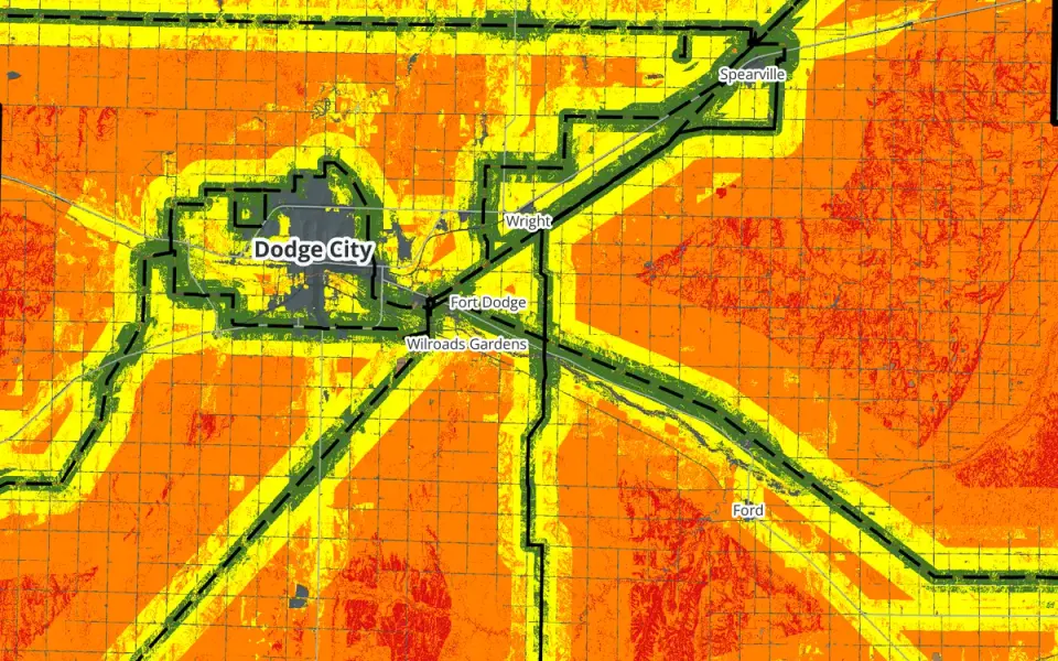
Flat Out Suitable
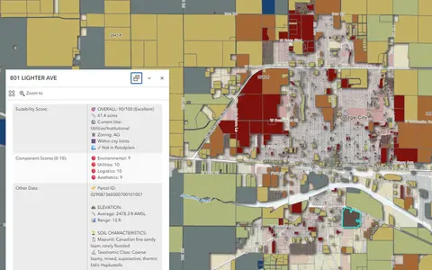
A county-scale solar siting suitability study for Ford County. I weighted four factors, ran five weighting scenarios, and found that the answer depends heavily on transmission access.
Read
Portfolio
Browse the portfolio by project type or domain, or compare projects side by side.
ResearchA county-scale solar siting suitability study for Ford County. I weighted four factors, ran five weighting scenarios, and found that the answer depends heavily on transmission access.
 Map
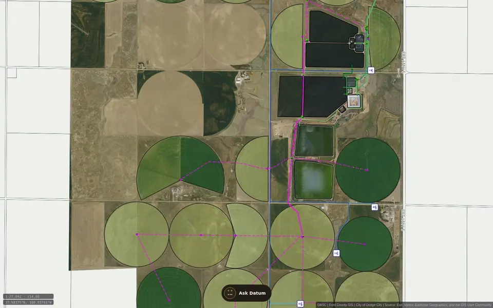
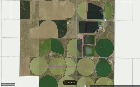
A public, read-only reference map for Dodge City and Ford County. It organizes selected published water, sewer, well, hydrant, and related GIS layers for browsing and planning. Datum, the site assistant, can help visitors navigate the available map content.
 Map
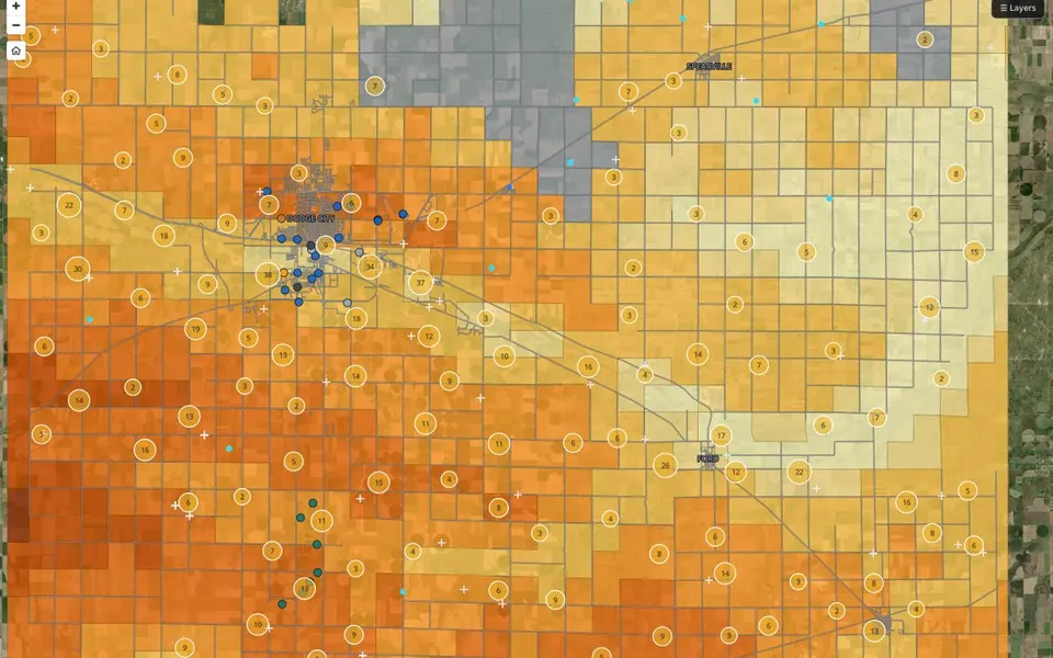
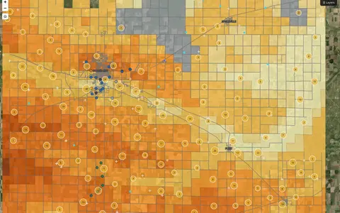
A public reference map of Ford County groundwater. It shows mapped depth-to-water ranges, active WIMAS diversion points, monitoring well references, and Dodge public-water wells.
 App
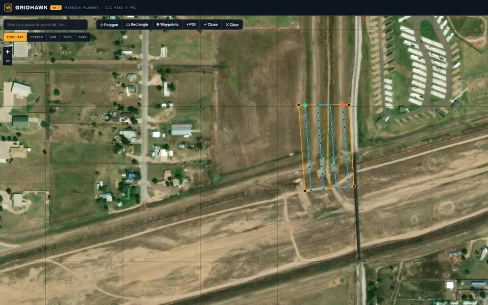
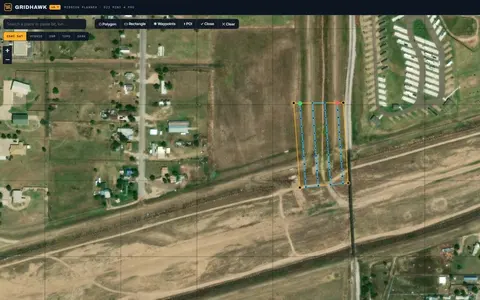
A browser-based mission planner for DJI Mini 4 Pro mapping flights. Define a survey area over imagery to generate a flight grid, camera-based spacing, altitude, overlap, and waypoints.
 App
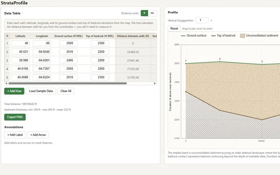
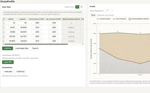
A browser tool that converts well-location and elevation records into a geologic cross-section. It calculates well spacing and sediment thickness while displaying the profile and source values together.
 App
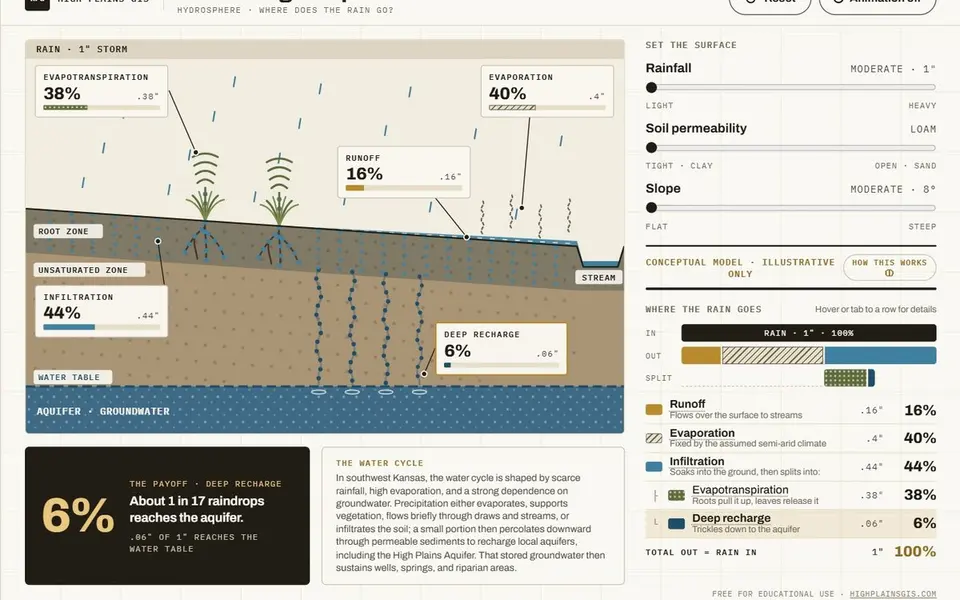
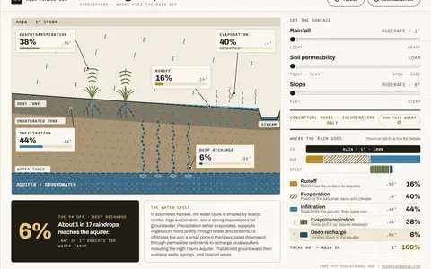
A conceptual hydrology teaching tool that shows how rainfall is partitioned among runoff, evaporation, and infiltration under different soil and slope conditions. It is an illustrative model, not a site-calibrated analysis.
 Map · external
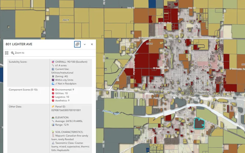
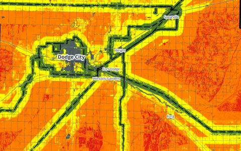
An MCDA suitability score for residential parcels around Dodge City. Environmental constraints, utility access, logistics, and aesthetics are weighted into one score from 0 to 100 for each parcel.
 Game
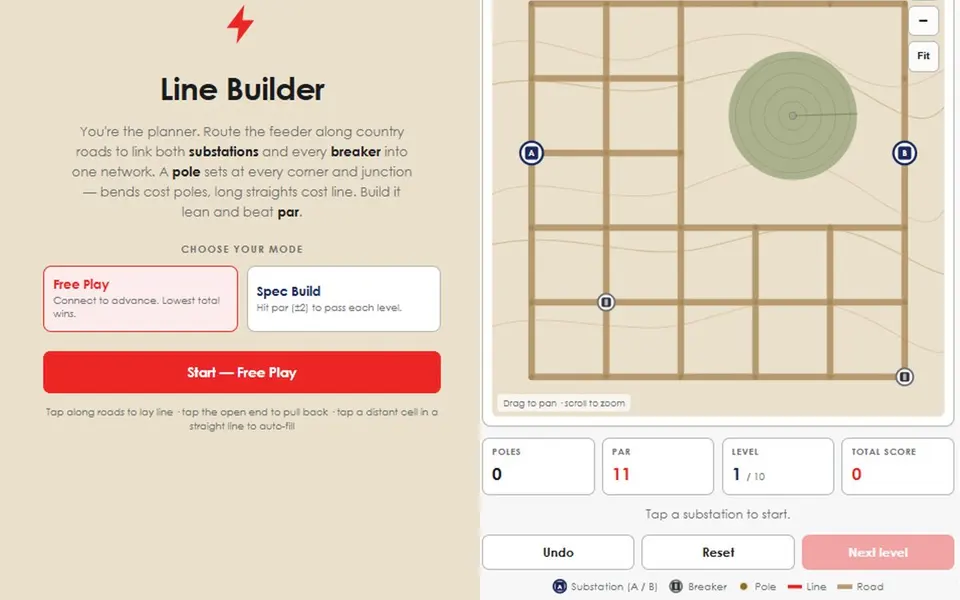
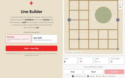
A puzzle game about routing electric distribution line across a southwest Kansas section map. Each board has two substations, a scatter of breakers, and a road grid to build along, and every level has a par.
 Game
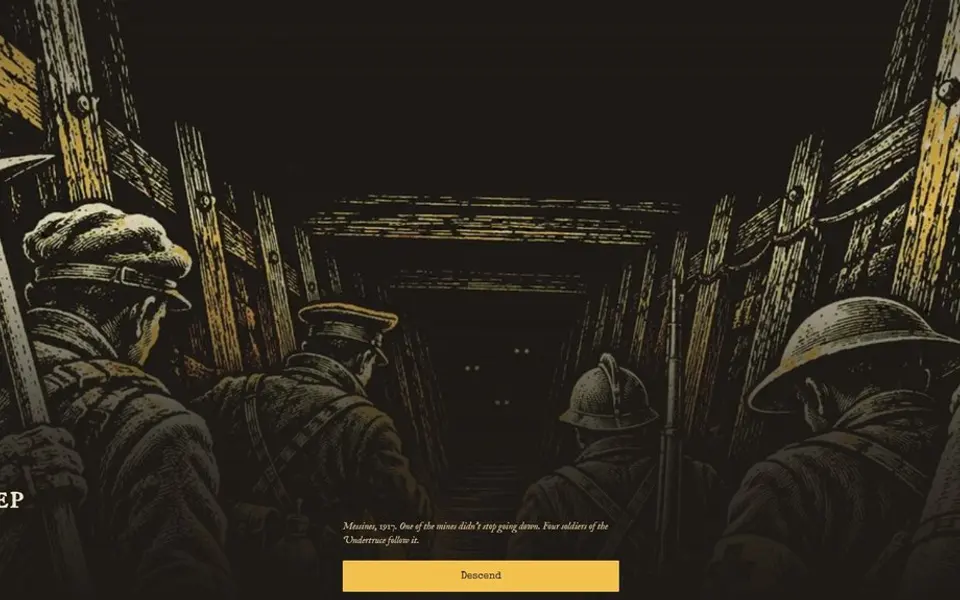
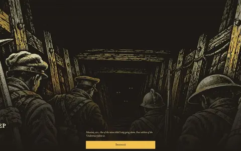
In 1917 the British detonated nineteen mines beneath Messines Ridge. In this game, one of them did not stop going down. VesperDeep is a turn-based dungeon crawler about the four soldiers who go down after it with one carbide lamp and a limited supply of oil.
 Research
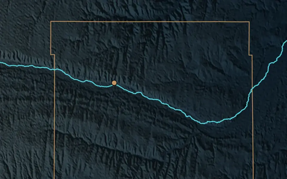
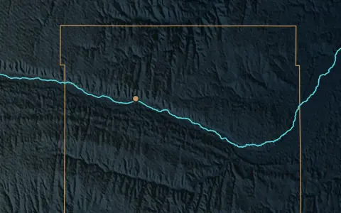
Dodge City routes stormwater to the Arkansas River while the Ogallala Aquifer remains under pressure. My capstone asks whether a portion of that runoff could be captured, retained locally, and routed by gravity to locations suitable for further recharge evaluation.
No projects match those filters.
Try a different type or domain, or clear the keyword.
Contact